
Where Your Plot’s Boundaries Are Actually Recorded: The FMB Sketch
SUYUG Infra
Short briefing · 1,783 words · 8 min read · 3 questions answered
In this article · 8 sections
Almost every plot purchase that goes wrong goes wrong at a corner. Not in the title chain, not in the approval, not in the money — at a corner, where a wall sits somewhere the record does not put it, and where two owners who both believe they are right discover that neither of them ever looked at the survey document.
The document exists. In Tamil Nadu it is the field measurement book, and the page that matters to a plot buyer is the FMB sketch for the survey field the plot was carved out of. This is how to read it and how to test it against the ground before you sign anything.
Why a fence, a compound wall and a boundary are three different things
A fence marks possession. A compound wall marks investment. Neither marks a boundary, because a boundary is a line in a record and the only thing that moves it is a change to the record.
Those three things drift apart quietly. A farmer ploughs a little wide for a decade. A previous owner builds a wall a few feet inside the line to keep it off a drain, and the strip outside it silently becomes somebody's parking. A layout developer forms a road and takes the width from whichever side was easier. None of this is fraud. It is simply what happens on land that has not been measured in a generation.
It becomes your problem on the day you want to build, because a building plan is drawn against the plot's dimensions on paper and a sanction is granted against the drawing.
The field measurement book and what an FMB sketch shows

The field measurement book is the survey side of Tamil Nadu's land administration, distinct from the patta and chitta, which are the ownership and cultivation side. One entry covers one survey field, and the sketch on it shows:
- The shape of the parcel as surveyed, with each boundary line drawn in relation to the others.
- The measurements recorded along those lines, in the units the survey used when the field was measured.
- The sub-divisions within the field, each carrying its own number, where the field has been split.
- The adjoining fields by their survey numbers, which is how you orient the sketch on the ground.
What it does not show is ownership. The sketch says where the parcel is and what shape it is. Who owns it is the patta record, and whether it is encumbered is the encumbrance certificate from the registration department. Three questions, three documents, and a plot buyer needs all three.
Sub-division numbers: how one survey number becomes many plots
A layout does not usually sit on a survey number. It sits on sub-divisions of one, or on sub-divisions of several adjoining ones.
When part of a survey field is transferred, the field is sub-divided and the parts are numbered — which is why a plot's identity on a Tamil Nadu record reads as a survey number with a sub-division suffix rather than as a plot number from a brochure. The brochure number exists only inside the developer's own drawing. The survey and sub-division number exists in a government record, and it is the one that will appear on your sale deed.
Two practical consequences. First, ask for the survey and sub-division numbers of the specific plot you are buying, in writing, before you pay anything — not the range covering the whole layout. Second, expect the sub-division for an individual plot to be created as part of the transfer rather than to pre-exist it, and ask the seller to explain, in writing, what the position is on the day you are being asked to pay.
Requesting a measurement: which officer, and what you receive
A measurement is a request to the revenue administration, made at the taluk office for the taluk the land is in. The village administrative officer is the first point of contact for the village record; the survey work itself is done by a departmental or licensed surveyor.
The sequence, in the shape it usually takes:
- Order the records first. The FMB sketch and the A-register or village record extract for the survey number, along with the patta and chitta for the parcel. Copies of several of these are available through the Tamil Nadu government's own e-services portal; the taluk office holds the rest.
- Apply for the survey at the taluk office, naming the survey and sub-division number and the reason. Ask at the counter which application form fits your case rather than assuming, because a sub-division request and a re-survey of an existing parcel are handled differently.
- Attend the survey. This is the part buyers skip and should not. Be present, with the adjoining owners informed, and have the seller present too.
- Collect what the survey produces — the surveyor's measurement and any corrected sketch — and keep it with the title papers rather than in a phone gallery.
Timelines and fees are set by the department and vary by office and by the kind of application; ask at the counter and get the answer in writing rather than accepting a figure from a broker.
Reading the sketch against what is on the ground
Take the sketch to site with the seller and a tape, and work in this order.
- Orient the sketch. Find the adjoining survey numbers named on it and identify them on the ground. Until the sketch is the right way round, every measurement you take is measuring the wrong thing.
- Find the corners before you measure the sides. Corners are where the record and the ground either agree or do not; the lengths of the sides follow from them.
- Measure the sides you can and compare them to the sketch. Small differences are ordinary — the sketch may record an older survey in older units. A side that is materially short is not ordinary.
- Check the road frontage separately. Frontage is the measurement most often lost to a widened road or a formed drain, and it is the measurement that governs what you may build, because setback and coverage rules key off plot size and abutting road width.
- Walk the rear boundary. It is the one nobody inspects, and it is where an encroachment survives longest.
Survey stones, corner markers and what to photograph
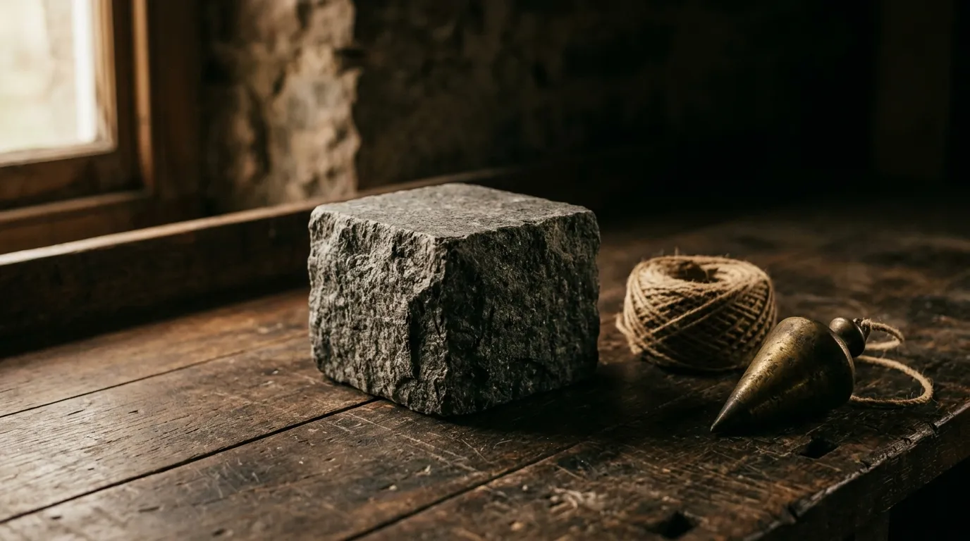
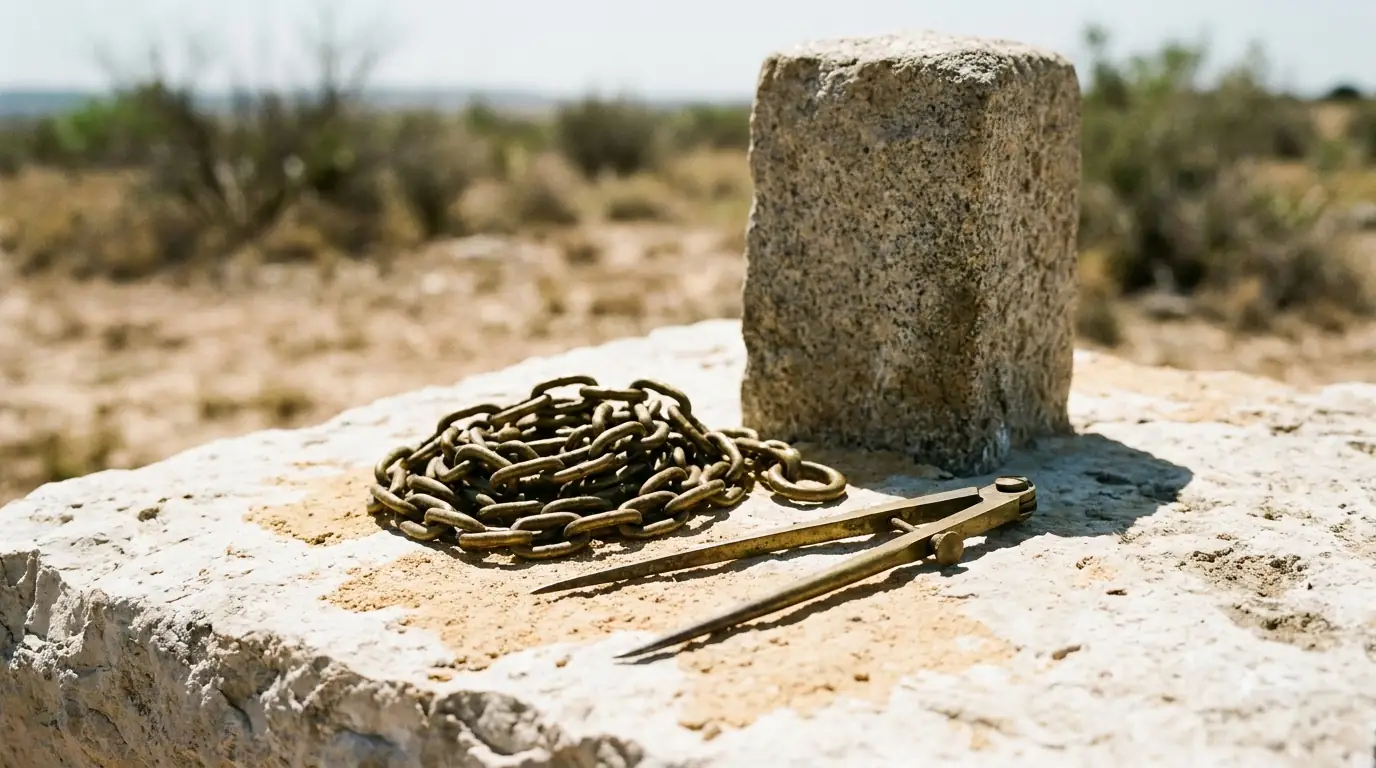
Survey stones are the physical expression of the record. Where they survive, they are the cheapest evidence available to you; where they have been removed, their absence is itself worth noting in writing.
Photograph, on the day, with the seller present:
- Each corner marker or survey stone, from far enough back to show what it sits between.
- Each boundary line along its length, in both directions.
- The road frontage, including anything already in the road margin — a pole, a transformer, a drain, a culvert.
- Any structure crossing a line, including a neighbour's eaves and a shared wall.
- The sketch itself, held at the corner it describes.
Dated photographs of a boundary before purchase are worth more than any assurance given at a sales counter, because they fix what everyone agreed on the day.
What to do when the sketch and the site disagree
Disagreement is not automatically a reason to walk away. It is a reason to stop paying until it is resolved, and to resolve it on paper rather than by agreement between two people standing in a field.
- Do not accept a verbal reconciliation. "The wall is a bit inside, that is all" may well be true and is worth nothing in a dispute two owners later.
- Ask for a departmental measurement rather than a developer's own surveyor's word. A measurement you commissioned is a document; a measurement the seller commissioned is a position.
- Have the correction carried into the record before the sale deed is executed, so that the deed describes a parcel the survey record agrees exists.
- Check the extent in the deed against the extent in the record. The description in the sale deed is what you will own; if it recites an extent the record does not support, the gap is yours to argue later.
The boundary questions to put to a layout developer in writing
Not verbally, and not to the sales team on the phone. In writing, so the reply is a document.
- The survey number and sub-division number for the specific plot, and the FMB sketch page covering it.
- Whether the sub-division for that plot has been effected in the record, and if not, at what stage it will be.
- Whether the layout has been surveyed after the roads were formed, and by whom.
- Which corners are marked on site today, and whether markers will be re-established before handover.
- The measured extent of the plot as against the extent that will be recited in the sale deed.
- Which office holds the layout's approved plan, so you can compare the plan's plot geometry against the sketch.
A developer selling a properly surveyed layout can answer all six from a file. On SUYUG's own plotted development on the Tamil Nadu side of the corridor, the survey position, the registration and the jurisdiction are set out together on the villa plots page — including which regulator and which state's records apply, which is the first thing a buyer crossing from Bengaluru needs to settle. The terms used here are defined in the glossary.
Frequently asked questions
FMB stands for field measurement book. It is the survey record maintained by the revenue and survey administration in Tamil Nadu, and the sketch is the page for one survey field: the shape of the parcel, its sub-divisions and the measurements recorded along its lines. It is a record of where the boundary is, kept independently of whoever is currently farming, fencing or selling the land.
No. A wall is evidence of where somebody built a wall. The boundary is what the survey record says it is, and the two agree only until someone rebuilds, encroaches or measures from the wrong corner. Where a wall and the sketch disagree, the sketch is the document you argue from and the wall is the thing that has to move.
You apply to the taluk office for a survey of the parcel and a licensed or departmental surveyor attends site, works from the field measurement book and the sub-division record, and marks the corners. Ask at the taluk office which application applies to your case, because sub-division of a patta and a plain re-survey of an existing parcel are different requests with different outputs.
Was this useful?
Comments
Was this useful?
Schedule a site visit
Leave your details and the team will call back to fix a convenient date.