
STRR Bengaluru: route, status and the Sarjapur–Hosur link
One section open, one nearly done, one stalled. Here is which is which, with a date on every claim.
Last reviewed 15 October 2026. Every figure on this page is dated and linked to its source below.
STRR in one minute
The Satellite Town Ring Road (STRR) is an NHAI expressway ring, roughly 280 km around Bengaluru, linking satellite towns such as Dobbaspete, Doddaballapur, Devanahalli, Hoskote, Sarjapur, Attibele, Hosur, Anekal, Kanakapura and Ramanagara. It is meant to take long-distance freight off the city's roads, not to serve daily city commutes.
As of 15 October 2026, about 80 km (Dobbaspete–Hoskote) is open and tolled; the Hoskote–Hosur link is reported nearly complete with a November 2026 target; and the southern arc through Anekal is stalled on forest clearance. Portals often quote a single 'STRR completion date'. There isn't one — each section has its own status.
Open and tolled: Dobbaspete to Hoskote
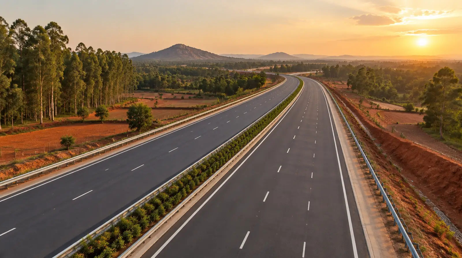
The northern arc from Dobbaspete to Hoskote, about 80 km (some sources say 82 km), was inaugurated on 11 March 2024 and has carried traffic for more than two years. It links NH-48 (Tumakuru road) to NH-75 (Old Madras Road) without entering the city, passing Doddaballapur and near Devanahalli.
For the Sarjapur corridor the open section matters mainly to freight and to trips towards the north and the airport region. It does not yet touch Sarjapur or Attibele.
Hoskote–Hosur link: the last 650 m and the rail overbridge
The section south from Hoskote towards Hosur is the one that matters for Sarjapur, Attibele and Bagalur. An August 2026 Swarajya report says the remaining roughly 21 km greenfield stretch up to the Karnataka–Tamil Nadu border is almost complete and targeted for November 2026, with surfacing, deck slabs, curing, safety work and load tests still to finish.
The hold-up has been a rail overbridge near Lingadeeramallasandra. Property-news coverage in June 2026 put the delay at about 16 months against the original February 2025 target, with only a short final stretch — reported as about 650 m — waiting on South Western Railway clearance. A June 2026 opening target has already passed, so we treat November 2026 as a target, not a date, until NHAI opens the road.

Phase II via Anekal: forest clearance stall
The southern and western arc — via Anekal, Kanakapura and Ramanagara — runs close to the Bannerghatta National Park eco-sensitive zone. A stretch of about 56 km there has been held up on forest and wildlife clearance, and no restart date has been confirmed as of October 2026.
If a brochure for a plot near Anekal or Kanakapura says 'on STRR', ask which phase and whether it has clearance. For now that arc is a line on a map.
Towns on the alignment: Sarjapur, Attibele, Hosur
Below Hoskote the alignment runs south past the Sarjapur area and Attibele to the state border near Hosur, where it connects with the Tamil Nadu section and NH-44. That puts Attibele, Bagalur and the Sarjapur–Attibele road between two expressway links: STRR to the east and NH-44 (Hosur Road) to the west.
On the Tamil Nadu side, Hosur's growth story — and the proposed Hosur airport — is covered on our Hosur airport and metro page and the Hosur locality guide. The rail side of the Sarjapur story is on the Phase 3A metro tracker.
What STRR means for plots vs apartments
An expressway helps land more than it helps apartments. Plotted layouts near an interchange gain logistics and warehousing interest and better access to Hosur's industrial belt; that is why STRR appears in almost every plot listing near Attibele and Bagalur. See our villa plots on the Sarjapur–Bagalur side and the Bagalur–Krishnagiri and Sarjapur–Attibele Road guides.
Apartment buyers commuting into the city gain less: STRR is a bypass, and the daily trip still runs on Sarjapur Road, Hosur Road or the ORR. Nobody can tell you how much STRR will add to land prices, and portal claims of a fixed percentage are not based on registered data. Buy land for its title, approvals and access road; treat the ring road as a long-term plus. Note too that STRR is different from the Peripheral Ring Road, now branded the Bengaluru Business Corridor — a BDA road much closer to the city (read our note on it).
Status log and sources
We review this log monthly and whenever NHAI or the press reports a change. Rows are added, never removed.
| Section | Status | Last reported |
|---|---|---|
| Dobbaspete–Hoskote (~80 km) | Open, tolled; inaugurated 11 Mar 2024 | Aug 2026 |
| Hoskote–Hosur (KA side, ~21 km) | Nearly complete; rail overbridge pending; target Nov 2026 | Aug 2026 |
| Southern arc via Anekal (~56 km) | Stalled on forest clearance; no restart date | 2026 |
Questions buyers ask
Is the STRR open between Hoskote and Hosur?
Not as of 15 October 2026. The roughly 21 km Karnataka section is reported almost complete, with a November 2026 target, but a rail overbridge near Lingadeeramallasandra has delayed it more than once.
Does the Satellite Town Ring Road pass through Sarjapur?
Its Hoskote–Hosur section runs south past the Sarjapur area and Attibele to the state border. It bypasses Sarjapur town rather than running along Sarjapur Road.
When will STRR Phase 2 near Anekal be built?
No date has been confirmed. The stretch near the Bannerghatta eco-sensitive zone is waiting on forest and wildlife clearance.
Does STRR raise land prices near Attibele and Bagalur?
It improves access, which usually helps land demand, but no registered data yet shows how much. Be wary of any listing that quotes a fixed percentage gain.
Is STRR the same as the Peripheral Ring Road (BBC)?
No. STRR is an NHAI expressway ring roughly 280 km long around the satellite towns. The Peripheral Ring Road, now called the Bengaluru Business Corridor, is a BDA project much closer to the city.
Sources
- Swarajya — 144 km of STRR set to open by November 2026 — Hoskote–Hosur progress and November 2026 target (Aug 2026).
- The Metro Rail Guy — STRR route map and status — alignment and section status; read 15 Oct 2026.
- PropNewz — STRR Hoskote–Hosur final link — rail overbridge delay (Jun 2026); a property site, cross-checked against press.
- 1acre — STRR map layer — alignment reference.
- NHAI — official project authority.
Walk the land, not the map
Visit our RERA-registered projects on the Sarjapur–Bagalur side and see the access roads, title papers and approvals for yourself.